Best Jet Ski Mapping Apps for Safer Rides and Smarter Route Planning

Jet ski mapping apps are becoming a more important part of recreational boating as riders look for better ways to plan routes, avoid hazards, and navigate unfamiliar waterways. Unlike basic map tools, marine-focused apps are designed around channels, depth contours, no-wake zones, launch points, weather conditions, and local navigation markers.
The “best” app for a jet ski rider depends less on a single feature list and more on where the rider operates, how far they travel, and whether they need offline access, live weather, route sharing, or detailed charts. For many users, the safest setup is a reliable marine navigation app paired with a mounted phone, waterproof protection, and a backup plan if signal or battery power fails.
Recent Trends
Several trends are shaping how jet ski riders use mapping apps. The market is moving beyond simple GPS tracking toward tools that combine route planning, safety alerts, and community-sourced information.

- More marine-specific navigation: Riders are increasingly looking for apps that show buoys, channels, shallow areas, restricted zones, and marked hazards rather than relying on road-based maps.
- Offline map demand: Many riding areas have weak mobile coverage, making downloadable charts and offline GPS tracking a key feature.
- Weather and tide integration: Wind, storms, currents, tide levels, and visibility can change quickly, so riders are giving more weight to apps that combine mapping with conditions data.
- Route planning before launch: Users are planning fuel stops, distance, speed expectations, and turnaround points before entering the water.
- Shared routes and group rides: Some riders want tools that help track friends, share destinations, or coordinate rides across lakes, bays, and coastal routes.
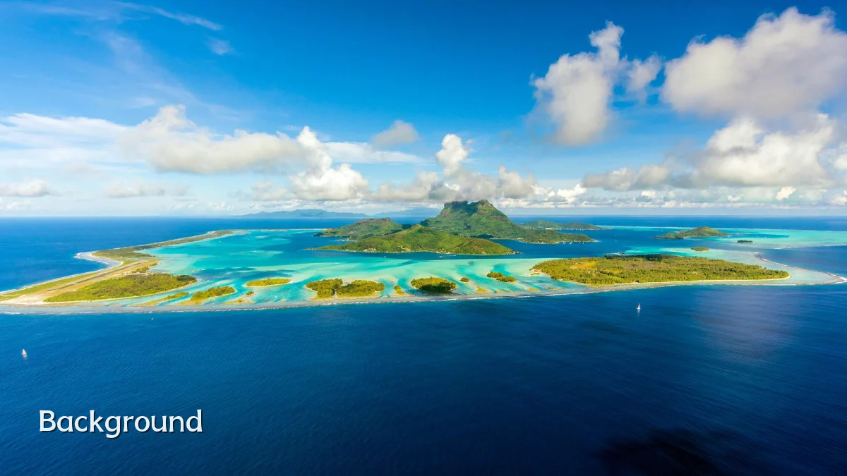
Background
Jet skis and personal watercraft operate differently from larger boats, but they still depend on the same basic navigation awareness. Riders must account for local rules, depth changes, swimmers, paddlers, boat traffic, wildlife areas, and restricted zones.
Traditional boating charts have long helped boaters understand waterways. Mapping apps now bring many of those tools to mobile devices, allowing riders to view charts, track routes, and review conditions from the dock or on the water. However, the usefulness of any app depends on chart coverage, device reliability, and the rider’s ability to interpret what the app is showing.
For jet ski users, the most relevant mapping features usually include:
- Marine charts with channels, markers, and hazard areas
- GPS positioning and route tracking
- Offline chart downloads
- Speed, distance, and estimated travel time
- Weather, wind, tide, and current information where available
- Launch ramps, marinas, fuel locations, and public docks
- No-wake zones, restricted areas, and local navigation notices when supported
User Concerns
Although mapping apps can improve planning and situational awareness, riders should not treat them as a complete safety system. Common concerns include accuracy, connectivity, battery life, screen visibility, and overreliance on automated routing.
Accuracy and Coverage
Marine map quality can vary by region. Some inland lakes, rivers, tidal flats, or remote coastal areas may have limited detail. Shallow water, sandbars, submerged objects, and temporary hazards may not appear clearly or may change after storms, dredging, or seasonal water-level shifts.
Offline Use and Signal Loss
Cellular coverage is often inconsistent on the water. A strong jet ski mapping app should allow riders to download charts in advance and continue showing GPS position without mobile data. Riders should test offline mode before relying on it during a trip.
Battery and Device Protection
Navigation apps can drain phone batteries quickly, especially with GPS, bright screens, and live data running. A waterproof case, secure mount, backup battery, and lanyard can reduce the risk of losing access mid-ride.
Screen Visibility and Usability
Glare, spray, vibration, and speed can make phones hard to read. Apps with simple interfaces, clear icons, and quick zoom controls are better suited to jet ski use than tools built mainly for dockside planning.
Legal and Local Rule Awareness
No-wake zones, speed limits, riding distance from shore, protected wildlife areas, and personal watercraft restrictions vary by location. Apps may help identify some zones, but riders remain responsible for following posted signs and local regulations.
How Riders Are Comparing Apps
For many users, choosing among jet ski mapping apps comes down to a few practical questions rather than brand reputation alone.
| Decision Factor | Why It Matters |
|---|---|
| Chart detail | Helps riders identify channels, shallow areas, obstructions, and navigation markers. |
| Offline access | Allows navigation when mobile service is weak or unavailable. |
| Weather tools | Supports safer decisions when wind, storms, tides, or visibility may change. |
| Ease of use | Important for quick checks while riding, especially in bright or wet conditions. |
| Route planning | Helps estimate distance, fuel needs, travel time, and safe turnaround points. |
| Local coverage | Some apps are stronger in coastal waters, while others may better support lakes and inland waterways. |
Likely Impact
Better mapping tools are likely to make jet ski riding more planned and less improvised, especially for riders exploring unfamiliar areas. Apps can help reduce wrong turns, improve awareness of restricted zones, and support better timing around weather and tides.
The strongest safety impact may come from pre-ride planning. Riders who check conditions, review distances, identify fuel or exit points, and download offline charts are better prepared than those who rely only on memory or visual navigation.
Mapping apps may also influence group riding. Shared route planning and location features can help groups stay organized, although riders should still agree on meeting points and emergency procedures in case devices fail.
- For new riders: Apps can make local waterways easier to understand, but they should supplement formal safety training and local knowledge.
- For experienced riders: Advanced chart layers and weather tools can improve planning on longer or more technical routes.
- For rental operators and tour groups: Mapping tools may help explain approved riding areas, boundaries, and return routes.
- For safety agencies: Wider app use may improve rider awareness, though it can also create concern if users treat app guidance as a substitute for judgment.
What to Watch Next
The next stage for jet ski mapping apps will likely focus on reliability, clearer marine data, and better integration with safety information. Riders should watch for improvements that reduce confusion rather than simply adding more map layers.
- More accurate local overlays: Better information on no-wake zones, hazards, access points, and restricted areas would be valuable, especially for inland waters.
- Improved offline performance: Stronger downloadable chart tools could make apps more dependable in low-signal riding areas.
- Smarter alerts: Useful warnings about weather changes, shallow zones, or route deviations may help, provided they are not distracting.
- Better device integration: Compatibility with mounts, wearables, marine displays, or emergency communication tools could improve usability.
- Clearer privacy controls: Location sharing is useful for groups but raises questions about who can see ride history and real-time position.
Bottom Line
The best jet ski mapping apps are the ones that match a rider’s local waterways, provide dependable offline access, and present marine navigation details clearly. Features such as weather updates, route planning, and hazard awareness can support safer rides, but they do not replace local knowledge, posted signs, or responsible decision-making.
For riders comparing options, the practical test is simple: choose an app that works well in the specific area where you ride, download maps before departure, verify the route, and carry a backup plan. Used that way, mapping apps can become a useful part of safer and smarter jet ski route planning.